The Indian Space Research Organisation (ISRO) has been at the forefront of leveraging space technology for natural resource management since 1985. With a focus on water resource management, ISRO has developed several innovative programs and collaborations that utilise space technology, artificial intelligence (AI), and geospatial analytics to address the pressing challenges of water management in India. These efforts are crucial in the context of climate change and urbanisation, which have intensified the need for efficient water resource management.
ISRO’s initiatives, such as the Indian Water Resource Information System, launched in collaboration with the Central Water Commission, have been instrumental in providing comprehensive data for water management. This system incorporates 35 input systems, covering everything from land to water, and includes socio-economic data. The Spatial Information System for Sustainable Development (SISTY) further supports Grama Panchayat-level planning for land and water resource management, offering data at a 1:10,000 scale for free access by stakeholders.
Urban Lakes and Water Quality Analysis
ISRO has conducted extensive spatial-temporal analysis of Bengaluru’s lakes, dating back to 1965, using historical data such as the Corona dataset. This analysis revealed significant changes in the number and quality of lakes, with existing lakes numbering 407, converted lakes at 87, and 10 new lakes forming over time. The categorisation of lakes into different alert levels, blue, green, yellow, red, and black, based on pollution and encroachment levels, enables targeted interventions.
Water quality analysis is another critical area of focus, with ISRO employing both ground-based and space-based methods to assess parameters like turbidity and total soluble salts. Collaborations with the Central Pollution Control Board and the Indian Institute of Science have enhanced these efforts, utilising hyperspectral data from both Indian and foreign satellites to develop detailed water quality maps.
Advanced Technologies and Collaborations
The integration of AI and machine learning models, such as random forests and ResNets, has enabled ISRO to predict water quality and delineate land-use properties in Bengaluru. These models, combined with data from the Karnataka State Disaster Management Authority, facilitate accurate predictions and classifications of land use, including vegetation and water bodies.
ISRO is also exploring the use of Internet of Things (IoT) sensors for real-time monitoring of water quality and soil parameters. Low-cost cameras and sensors, developed in collaboration with the Indian Institute of Horticulture Research, have proven effective in rural watershed areas. Additionally, unmanned aerial vehicles (UAVs) are being utilised to collect high-resolution data in watershed management projects.
Also read: From Data to Decisions: Karnataka’s AI-Led Water Governance Revolution
Conclusion: A Path Forward
The integration of space technology, AI, and geospatial analytics offers transformative potential for water resource management in India. ISRO’s initiatives exemplify how advanced technologies can provide comprehensive data and insights, enabling informed decision-making and sustainable management practices. As these technologies continue to evolve, they will play an increasingly vital role in addressing the challenges of water scarcity and ensuring the sustainable development of India’s water resources.
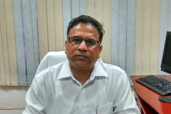
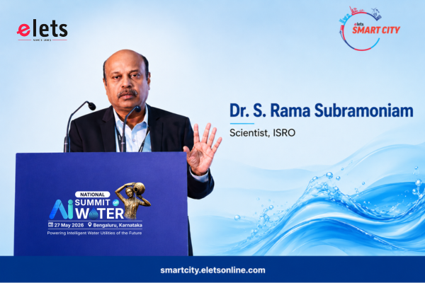
Insights shared by Dr. S. Rama Subramoniam, Scientist, ISRO, at the National AI Summit on Water, in Bengaluru.