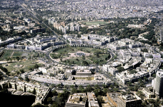
 Thanks to a new government initiative, people living in the National Capital Region (NCR) would soon be able to locate public toilets in their vicinity using smartphones.
The government has prepared a road map with the help of Google Maps app to help people locate toilets quickly in cities across the country. It works exactly the same way as finding a popular restaurant or the nearest ATM on the popular app.
Initially, this facility will be available in the NCR where around 5,100 toilets will be mapped.
The government plans to launch this facility by mid November when the next Swachhta Pakhwada (cleanliness and sanitation fortnight) is scheduled to start. The toilets, located by Google Maps would be those with unrestricted access and include those at public convenience complexes, malls, shopping complexes and petrol pumps.
“We are working on improving sanitary conditions of all such toilets, including providing users the rank option to toilets,” said a government official.
A mobile app will also be launched to enable people to rank toilets on cleanliness guidelines.


