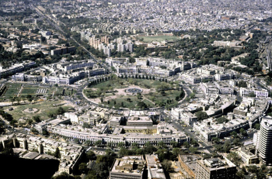
 The Indian Space Research Organisation (ISRO) has joined hands with Union Urban Development Ministry for mapping over 4,041 areas, including around 500 urban local bodies.
The mapping of towns is expected to make a base plan for better planning and management, which will further help the town planners to prepare a master plan for many fast urbanising local bodies.
According to report, the mapping is being currently done for municipal local bodies with a population of more than a lakh.
The project is reportedly expected to start next month.
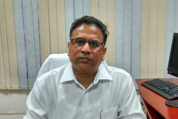
“We have tied up with the Ministry of Urban Development to map over 4,041 areas. This will be helpful for urban planners to prepare a better master plan,” said V K Dadhwal, Director, National Remote Sensing Centre, ISRO.
“Over 2,500 town planners have been roped in and trained on how to use the base plan,” Dadhwal said.
ISRO will also map heritage sites and monuments of national importance to provide management plans.

